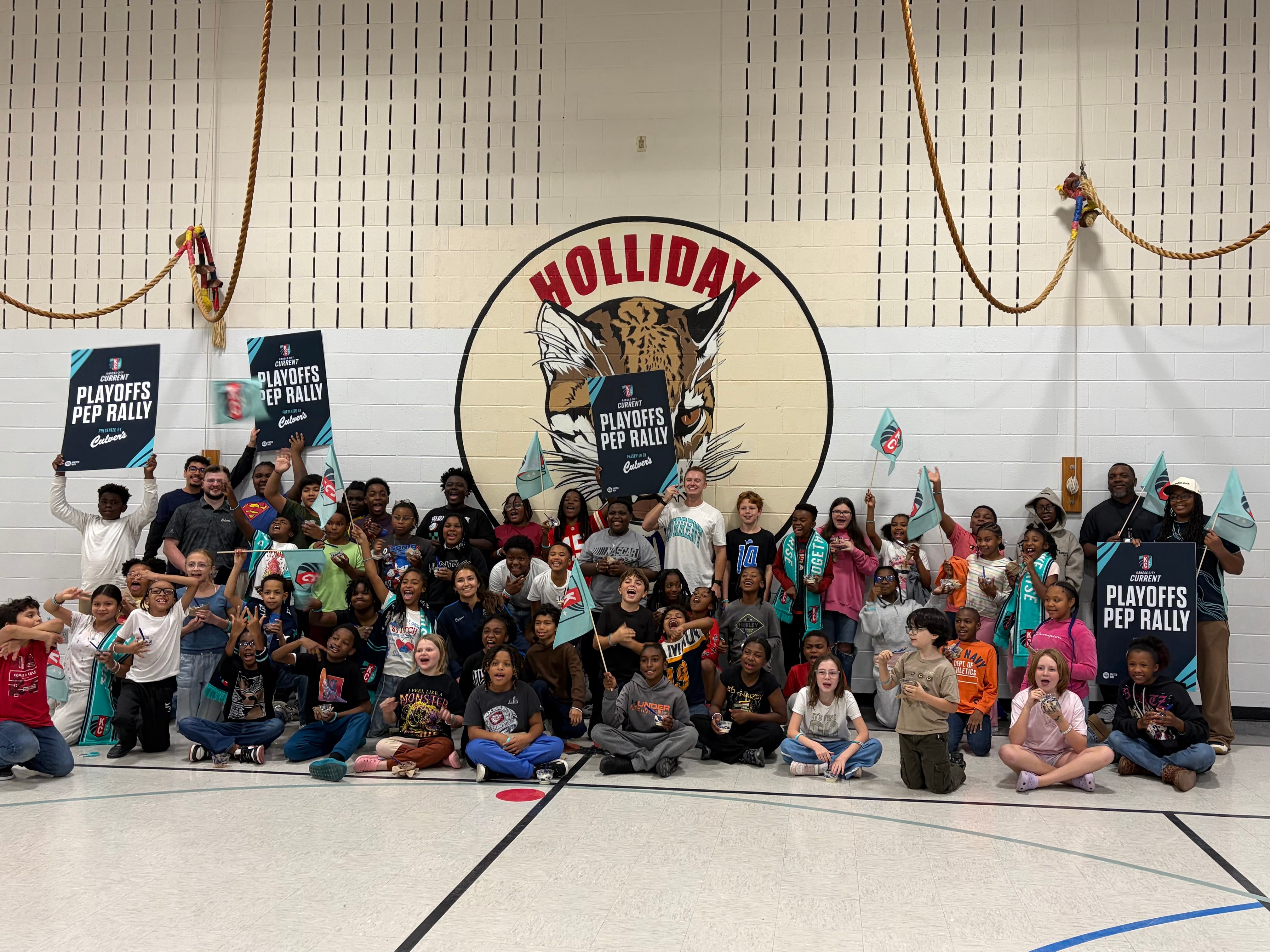
The Current held a pep rally at the school to encourage students ahead of the match.
Ferrelview Platte County, MO
Forecast
Weather alerts
Severe Flood Warning until Sun 12:00 AM
Platte, MO
What to do: Turn around, don't drown when encountering flooded roads. Most flood deaths occur in vehicles. This product along with additional weather and stream information is available at www.weather.gov/kc/.
...The Flood Warning continues for the following rivers in Missouri... Platte River near Platte City affecting Platte County. Platte River At Sharps Station affecting Platte County. Platte River near Agency affecting Buchanan County. * WHAT...Minor flooding is occurring and minor flooding is forecast. * WHERE...Platte River near Platte City. * WHEN...Until late Saturday night. * IMPACTS...At 20.0 feet, Cropland near State Highway 92 near Platte City begins to flood. At 22.0 feet, Flooding occurs at Humphreys Access Area which is located 5 miles downstream from Platte City. 300 acres of pasture are also flooded. * ADDITIONAL DETAILS... - At 8:30 AM CST Friday the stage was 21.6 feet. - Forecast...The river is expected to rise to a crest of 22.2 feet tomorrow morning. It will then fall below flood stage tomorrow evening. - Flood stage is 20.0 feet. - http://www.weather.gov/safety/flood
From the National Weather Service (Kansas City/Pleasant Hill MO).
Severe Flood Warning until Sat 6:00 PM
Platte, MO
What to do: Turn around, don't drown when encountering flooded roads. Most flood deaths occur in vehicles. This product along with additional weather and stream information is available at www.weather.gov/kc/.
...The Flood Warning continues for the following rivers in Missouri... Platte River near Platte City affecting Platte County. Platte River At Sharps Station affecting Platte County. Platte River near Agency affecting Buchanan County. * WHAT...Minor flooding is occurring and minor flooding is forecast. * WHERE...Platte River at Sharps Station. * WHEN...Until Saturday evening. * IMPACTS...At 26.0 feet, Low-lying rural land along the river begins to flood. At 29.0 feet, Backwater from the Platte River floods Highway KK along the Little Platte River at the location 0.2 miles east of Highway B. * ADDITIONAL DETAILS... - At 8:30 AM CST Friday the stage was 27.3 feet. - Forecast...The river is expected to rise to a crest of 27.8 feet just after midnight tonight. It will then fall below flood stage early tomorrow afternoon. - Flood stage is 26.0 feet. - http://www.weather.gov/safety/flood
From the National Weather Service (Kansas City/Pleasant Hill MO).
Minor Frost Advisory until Sat 8:00 AM
Atchison; Miami; Linn; Doniphan; Leavenworth; Wyandotte; Johnson; Atchison; Nodaway; Worth; Gentry; Harrison; Holt; Andrew; De Kalb; Daviess; Buchanan; Clinton; Caldwell; Platte; Clay; Ray; Jackson; Lafayette; Cass; Johnson; Bates; Henry
What to do: Take steps now to protect tender plants from the cold.
* WHAT...Temperatures as low as 33 will result in frost formation. * WHERE...Portions of east central and northeast Kansas and north central, northwest, and west central Missouri. * WHEN...From midnight tonight to 8 AM CST Saturday. * IMPACTS...Frost could harm sensitive outdoor vegetation. Sensitive outdoor plants may be killed if left uncovered.
From the National Weather Service (Kansas City/Pleasant Hill MO).
News from around Platte County
Headlines from local outlets. Each one opens on the publisher's site.
Talk about the news in Ferrelview chat →
- Current hosts pep rally at Holliday Montessori before Saturday’s quarterfinal against Angel City FC
- Missouri State Rep. Anthony Ealy charged after allegedly threatening to kill man
Missouri State Rep. Anthony Ealy is charged in Cole County Court after repeated threats to kill a man, including Ealy screaming at the victim he had a gun.
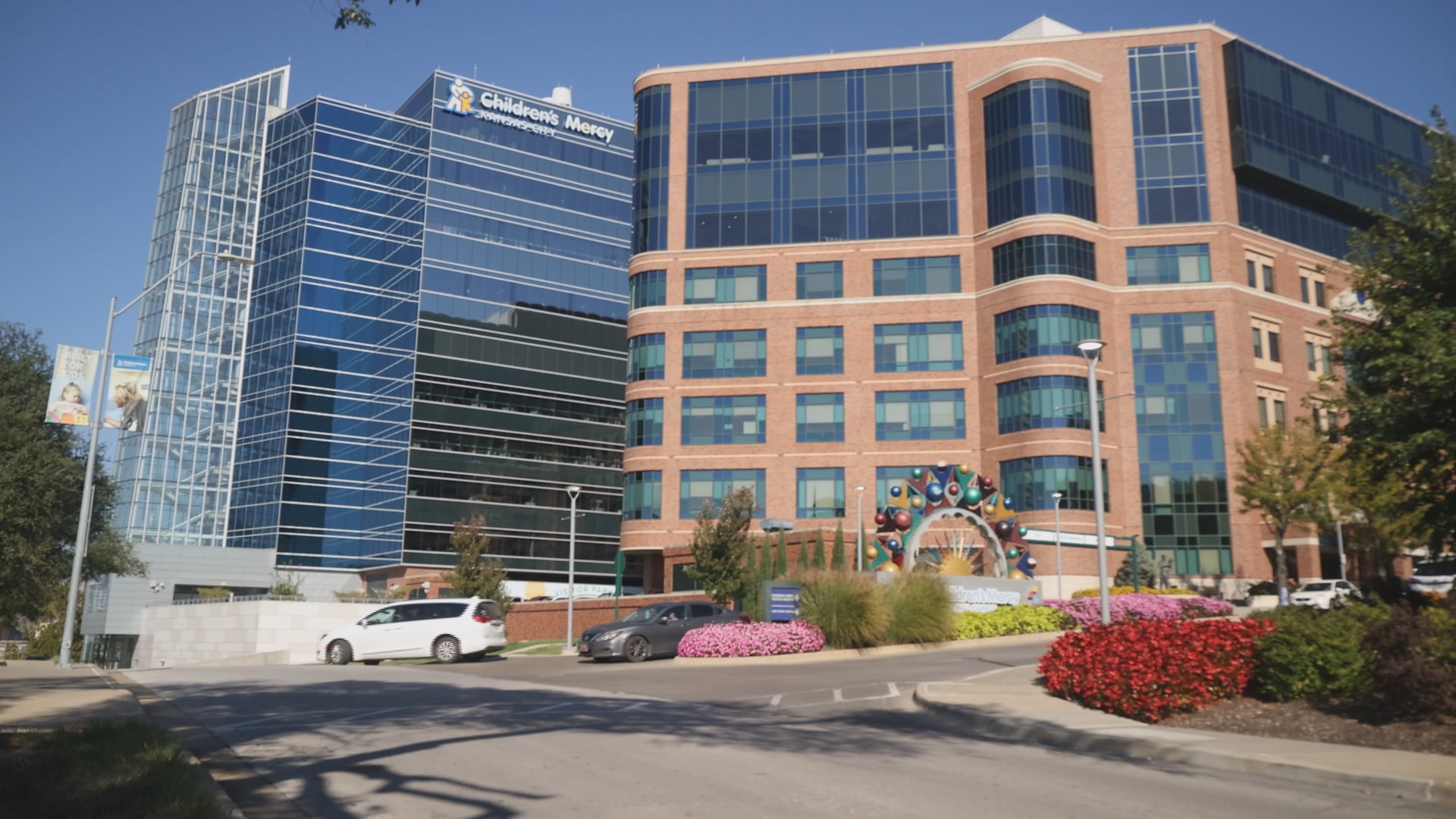
- What’s next for 473 Children’s Mercy workers after revenue department closing announcement
Hundreds of Children’s Mercy employees are learning what’s next after the hospital announced plans to close its revenue cycle department and move their jobs to an outside company.
- Man charged after shooting at Hidden Valley Park in Kansas City
A man has been charged after a shooting at Hidden Valley Park in Kansas City.
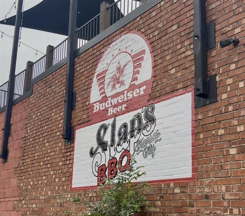
- New ‘best’ KC barbecue spot named according to national poll
Kansas City-style barbecue is known for its variety of meats cooked over low heat for a long time. It is then topped with a thick, sweet and spicy barbecue sauce.
- Man sentenced to 72 years in prison for woman’s 2023 disappearance, murder
A man has been sentenced to 72 years in prison for a woman's 2023 disappearance and murder.
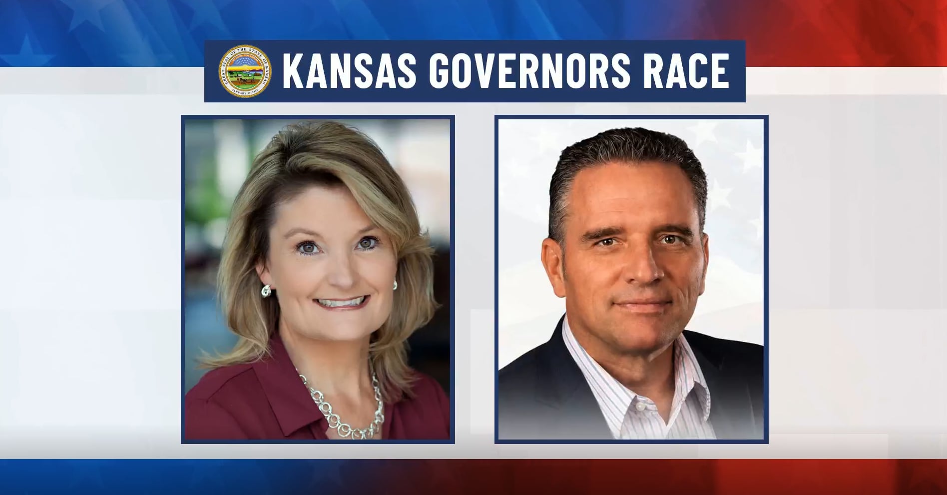
- Mail-in ballots set to arrive as Kansas governor’s race remains uncalled
The final mail-in ballots will arrive as the Associated Press has yet to call the race.
- Federal, local agencies report drug, firearm seizures in weeklong operation
Federal and local agencies reported drug and firearm seizures during a weeklong operation.
- Wyandotte County commissioners approve changes to Chiefs stadium measures
Unified Government approves two measures tied to Chiefs stadium project.
- Evergy announces upgrades to substation serving Brookside, Waldo, South Kansas City
Evergy announced Friday that aging equipment at a south Kansas City, Missouri, electrical substation is poised for upgrades.
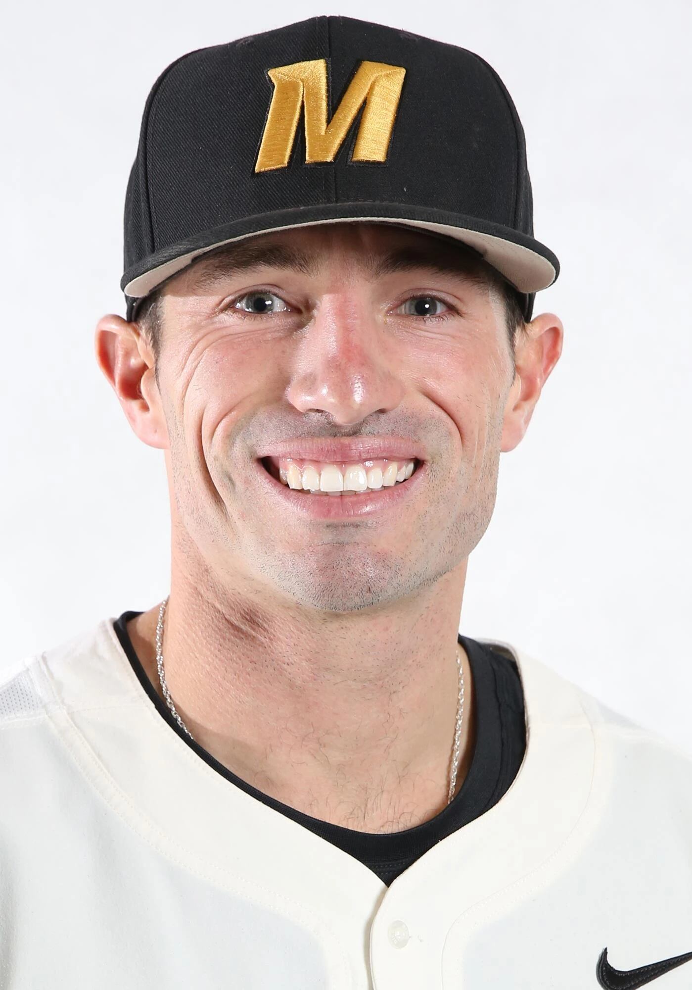
- Kansas City Royals hire Liberty native, Mizzou standout Hunter Mense as hitting coach
Royals hire Hunter Mense as hitting coach alongside Marcus Thames, Connor Dawson.
- Metro area state representative arrested following Capitol disturbance, held with no bond
A metro area state representative has been arrested following a disturbance in the Capitol City and remains behind bars with no bond.
- Lawrence homeowner pins garage intruder until police arrive, officers say
A Lawrence homeowner pinned a garage intruder until police arrived, officers said.
- Crown Center Ice Terrace opens for its 54th season with free skating Friday morning in Kansas City
Crown Center Ice Terrace opens its 54th season Friday with free skating from 6-9 a.m. See hours and prices.
- Thanksgiving airfare is up 31% this year — here's how flexible travelers can still save money
Thanksgiving is just a few weeks away, and millions of Americans are getting ready for their holiday travel plans.
- KC Streetcar offering free ‘Spirit Rides’ to UMKC basketball season-opening doubleheader
The Kansas City Streetcar is offering free 'Spirit Rides' to the UMKC basketball season-opening doubleheader.
- Help Kansas City families stay warm: KCTV5 hosts annual Project Warmth donation drive
Project Warmth returns: How and where to donate winter gear across the metro.
- Contrasting recent closures, a new KC neighborhood grocery store is finding ways to thrive
Deborah Phillips walked up to the automatic sliding glass doors of the Sun Fresh in the Blue Parkway Shops on Oct. 26, only to be disappointed. The grocery store had closed for good the night before, citing “declining sales and rising operating costs.” Phillips works down the…
- Waiting for Medicaid waivers
Across the Midwest, thousands of children and adults with disabilities are waiting for Medicaid waivers to help pay for their care at home. Also, U.S. farmers are looking for more drought-resistant crops. Sorghum could be the answer.
- New settlement details emerge as UG rescinds ordinance over Sports Authority bill exemptions
The Unified Government of Wyandotte County/Kansas City, Kansas, voted Thursday night to rescind a charter ordinance that exempted it from new sections of the Sports Authority bill.
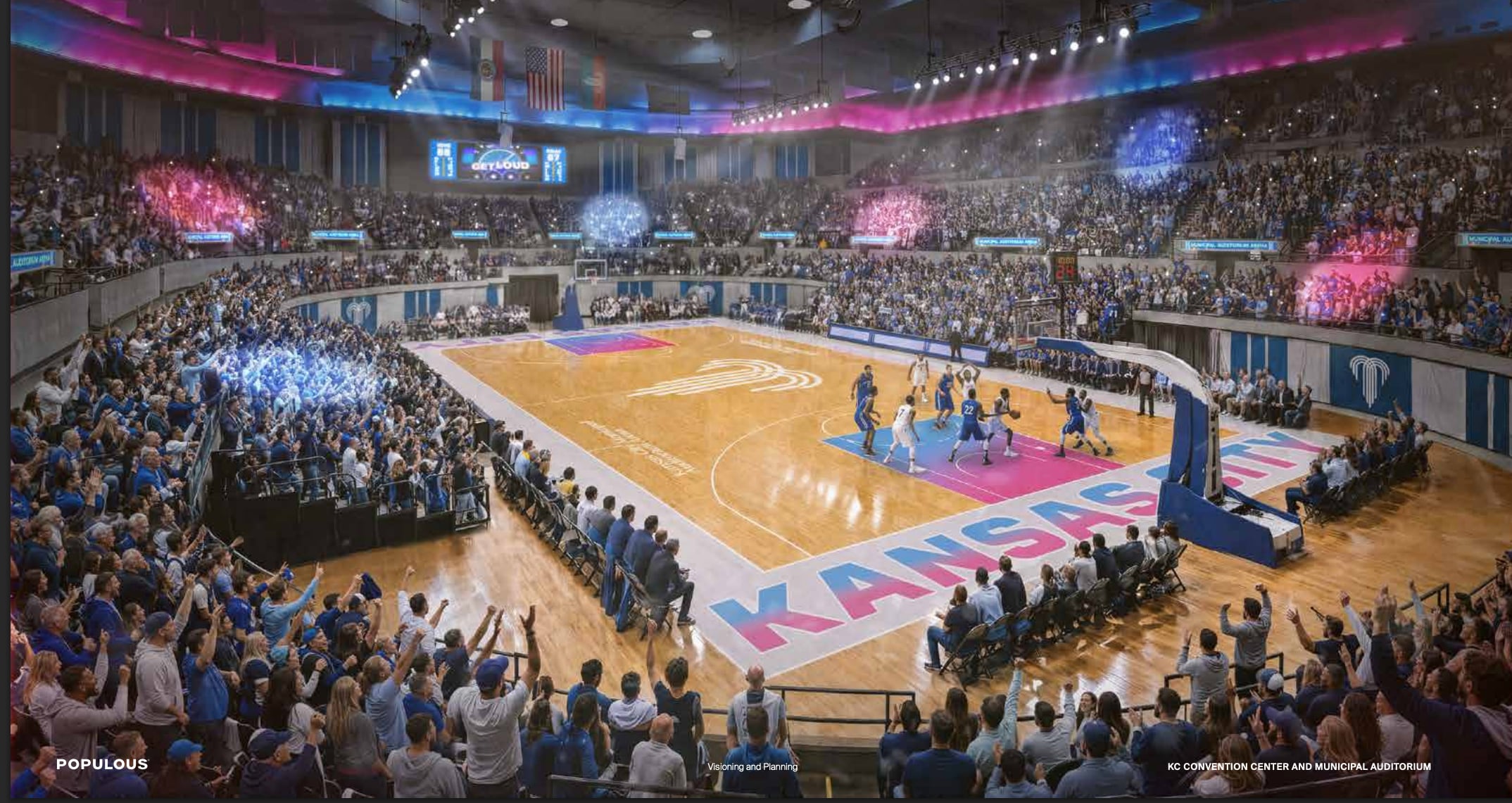
- Kansas City moves forward on restoration of historic convention center and Municipal Auditorium
As Municipal Auditorium gets set for the return of UMKC basketball, the city is announcing big plans for restoration to the building.
- Former Chiefs long snapper nominated for NFL Salute to Service Award
Former Chiefs long snapper Kendall Gammon has been named the franchise’s nominee for the 2026 NFL Salute to Service Award presented by USAA.
- Lee's Summit voters decline citywide trash service; neighbors protect 'freedom of choice'
On Tuesday, voters rejected a ballot question that would have approved a single citywide trash hauler, reducing the number of service providers in the areas.
- Jason Sudeikis to make appearance on College Gameday as guest picker. Here’s why
“This is the pinnacle of my Notre Dame (fandom),” Sudeikis told McAfee.
- 1 person critically wounded in shooting Thursday night in east Kansas City, Missouri
One person suffered critical gunshot wounds in a shooting Thursday night in east Kansas City, Missouri.
- Police investigating critical injury shooting in east Kansas City
Kansas City Police responded to the area of 29th Street and Van Brunt Boulevard Tuesday night after 8 p.m.
- Blue Springs man sentenced for attempting to meet teen for sex
Fifty-three-year-old James D. Fishbaugh, of Blue Springs, pleaded guilty prior to sentencing.
- Lawrence man, 74, guilty on all counts in sex crimes case involving 3 children under 14
A Douglas County jury convicted Mark Strand of rape and other charges involving three children under 14.
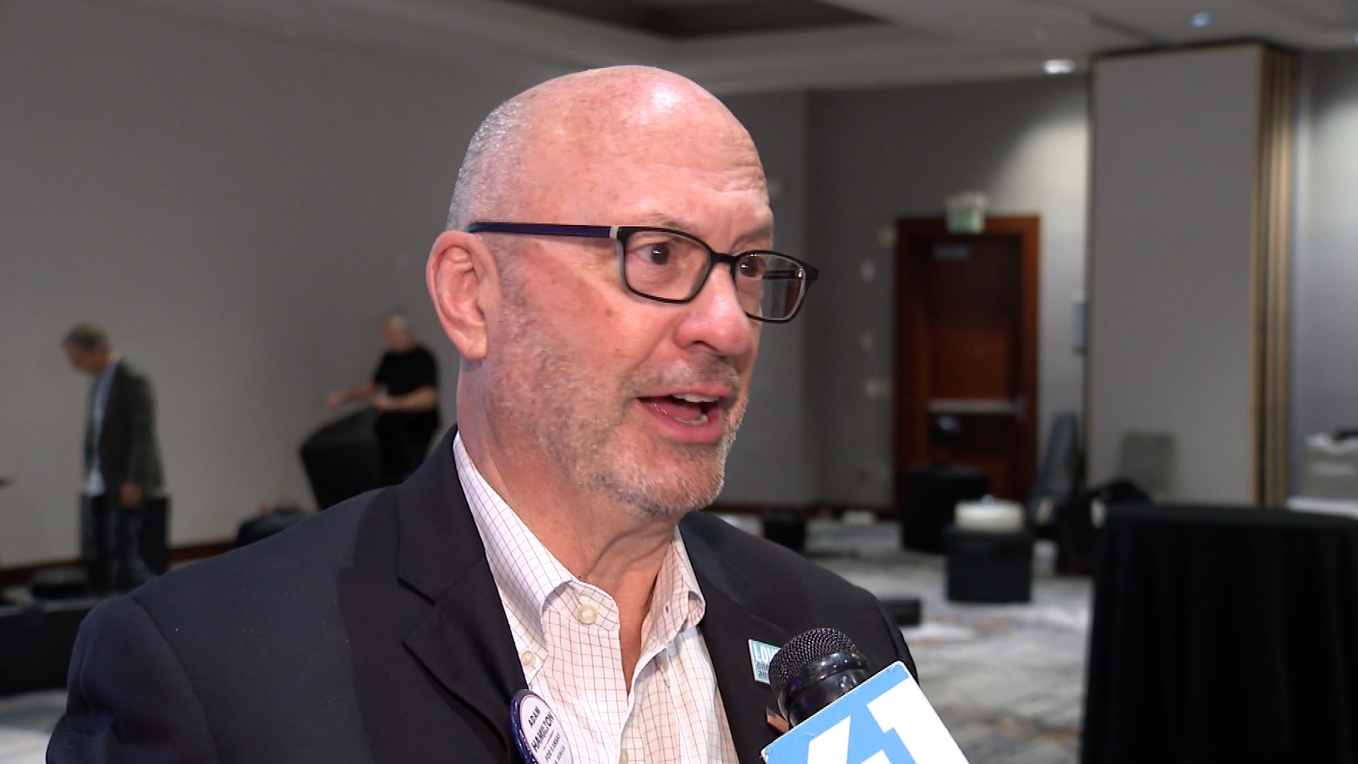
- Kansas senator-elect Adam Hamilton sits down with KSHB 41 News after historic election
One of the key races for Tuesday night's blue wave happened in Kansas, where Democratic challenger Adam Hamilton beat Republican incumbent Roger Marshall and flipped the seat.
- Kansas City launches Fight the Blight website to address vacant, neglected properties
Boarded-up buildings, overgrown lots and neglected properties are familiar sight in parts of Kansas City, Missouri. A new effort is underway to address the problem and improve neighborhoods.